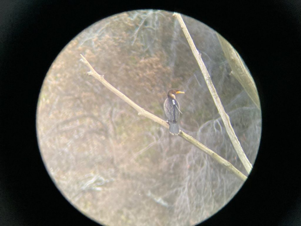
About the Transmitters
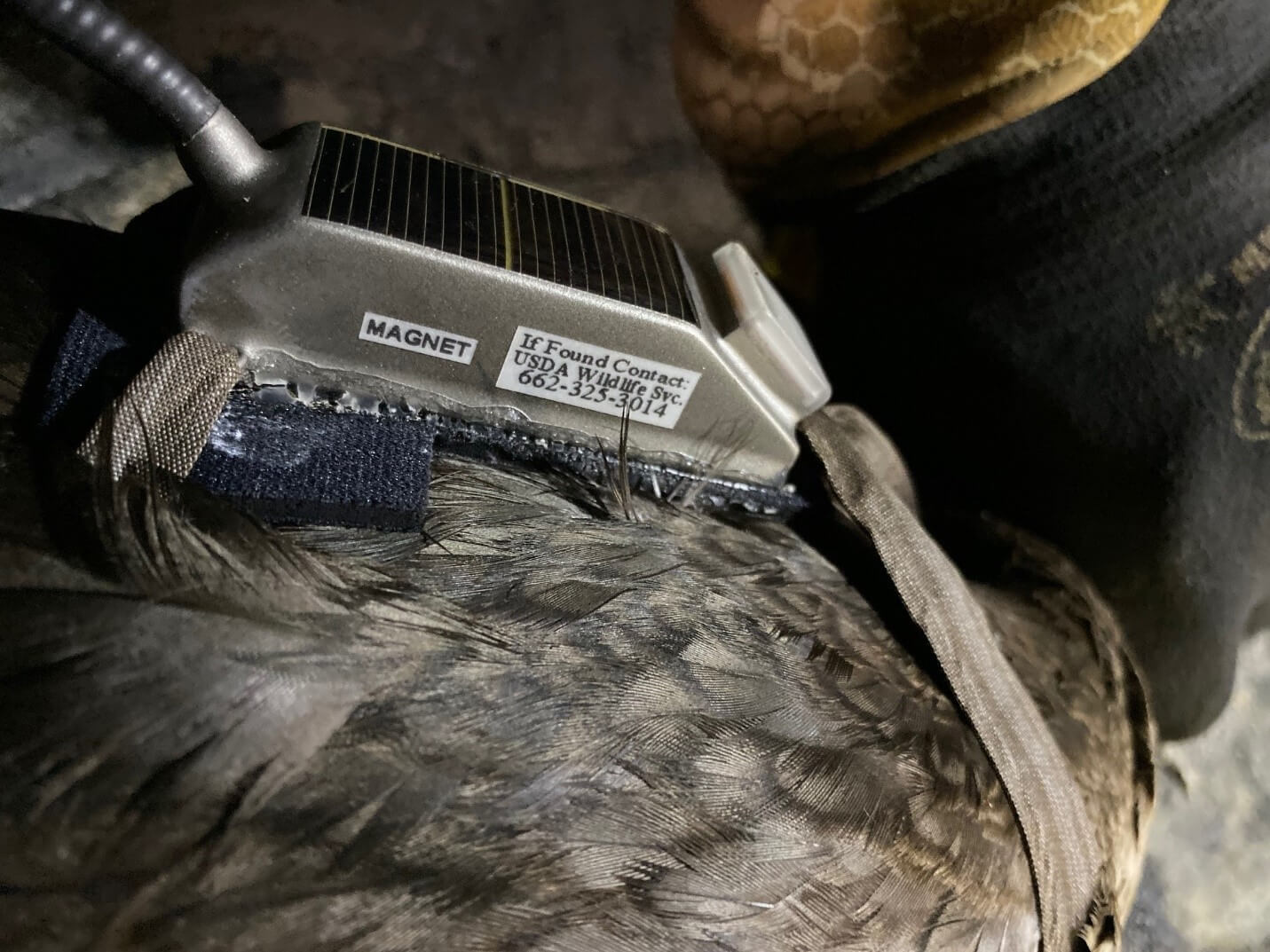
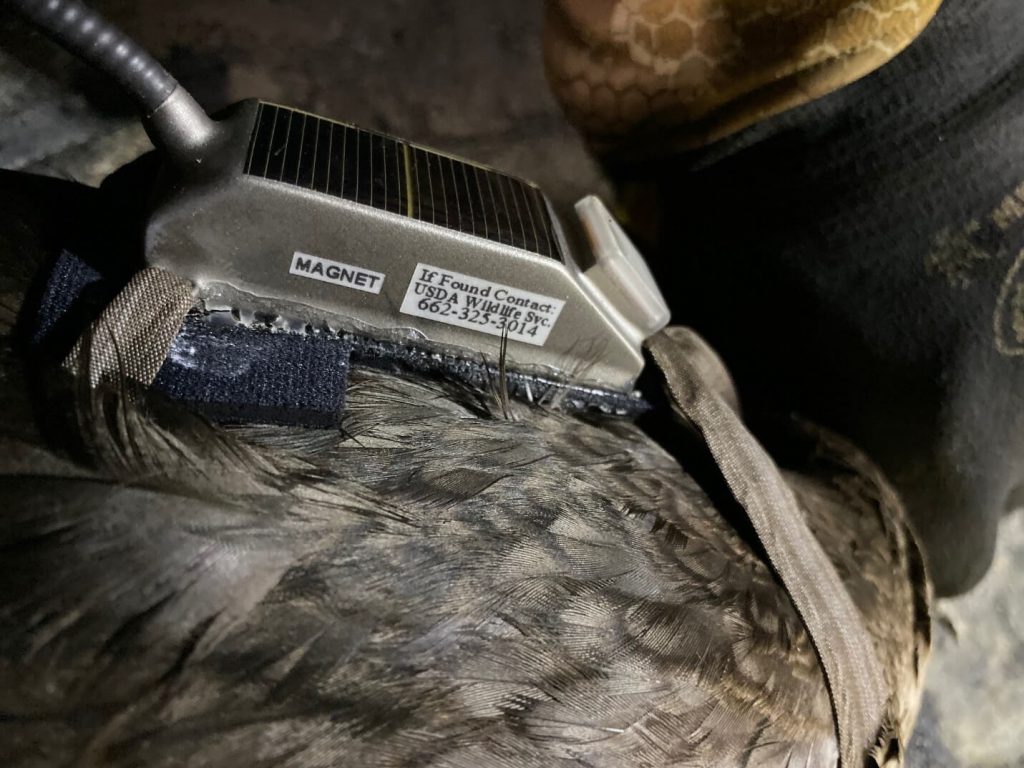
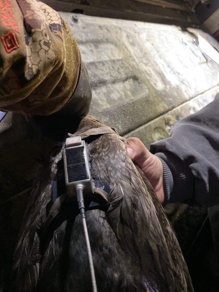
The units are 22 gram Solar GPS PTT models manufactured by GeoTrak Incorporated out of Apex, North Carolina and will either be silver or black in color depending on what batch the unit came from. The information collected is uploaded via the Argos Satellite System then relayed back to the appropriate software after it has been decoded and put into a usable format. A brief explanation of how that is possible as found on Argos System’s website:
“Any equipment integrating an Argos-certified transmitter is referred to as a ‘platform’. Powered by batteries or solar energy, the Argos transmitters upload short duration messages (of less than one second) to Argos instruments on satellites that pass overhead at an altitude of 850 km.
Polar orbiting satellites collecting data: flying at an orbit of 850 km above the earth pick up the signals and store them on-board and relay them in real-time back to earth.
The satellites are on a polar orbit at an altitude of 850 km
The satellites see the North and South Poles on each orbital revolution. The orbit planes revolve around the polar axis at the same speed as the Earth around the Sun, i.e. one revolution a year. Each orbital revolution transects the equatorial plane at fixed local solar times. Therefore, each satellite passes within visibility of any given transmitter at almost the same local time each day. The time taken to complete a revolution around the Earth is approximately 100 minutes.
At any given time, each satellite simultaneously “sees” all transmitters within an approximate 5000 kilometer diameter “footprint”, or visibility circle. As the satellite proceeds in orbit, the visibility circle sweeps a 5000 kilometer swath around the Earth, covering both poles.
Due to the Earth’s rotation, the swath shifts 25° west (2800 km at the Equator) around the polar axis at each revolution. This results in overlap between successive swaths. Since overlap increases with latitude, the number of daily passes over a transmitter also increases with latitude.
At the poles, the satellites see each transmitter on every pass, approximately 14 times per day per satellite.
The period during which the satellite can receive messages from a platform is equivalent to the time during which the platform is within its visibility. On average this is 10 minutes.
Argos messages are received by the satellite simultaneously. They are stored on the onboard recorder and retransmitted to the ground each time the satellite passes over one of the three main receiving stations based on Wallops Island (Virginia, United States), Fairbanks (Alaska, United States), and Svalbard (Norway), or they are retransmitted to the ground to regional reception stations in the satellites’ field of view.”
This project and the data it will yield will hopefully fill in a lot of blanks for the Aquaculture industry in the near future! Delta Wildlife as well as USDA-WS Operations Personnel are very excited to be fielding this equipment on behalf of our Aquaculture Producers and industry partners.
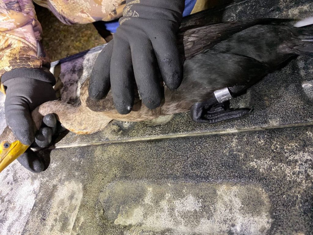
It is important to note, while Double Crested Cormorants are a federally protected species and it is illegal to harm or harass them without a proper Depredation Permit, there is a chance, albeit a very small chance that you may encounter one of the DCCO wearing a GPS backpack, just as you could stumble upon a bird of another species with a USGS leg band or other marker pretty much anywhere throughout your daily life. If you are an aquaculture producer or perhaps have land in close proximity to an aquaculture facility or historic roost site or even randomly happen to come across a DCCO wearing a USGS leg band, please stop and inspect the bird very closely. It is always recommended to call in the leg band data of any bird encountered with one as that data is beneficial for a myriad of reasons. If during your inspection of the bird, you find a transmitter, there is a telephone number on the side of the transmitter or you can call the Delta Wildlife office directly at 662-686-3370 or even email me at jody@deltawildlife.org . PLEASE let us know if you happen to find one!
We will gladly come pick up the transmitter from you so the equipment can be checked out then hopefully re-deployed to continue gathering data. We would re-deploy the returned unit because of course, the equipment is expensive but more importantly the data these units will be providing will undoubtedly help our neighbors in the aquaculture industry throughout the Delta!

